

BSL CALYPSO


Kurs/Position
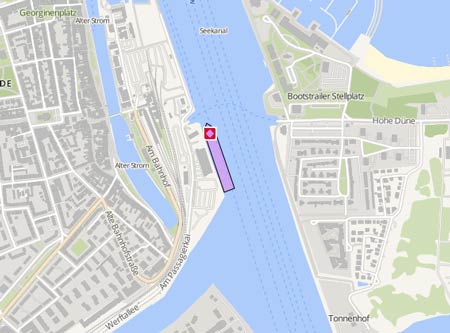
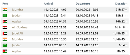
Die letzten Häfen
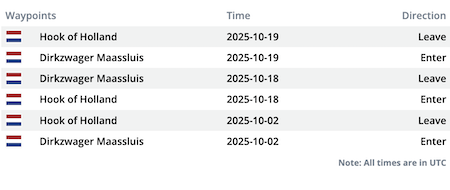
Die letzten Wegpunkte
Die neuesten Nachrichten
Bulk carrier allided with Maersk tanker
On Oct 19, 2025, at 4.14 a.m. the tanker 'Maersk Katalin' (IMO: 9431317), while being moored at the Santos anchorage, was hit by the 'BSL Calypso', which was leaving the anchorage. It had arrived there en route from Punto Fijo on Oct 5. The tanker suffered damage at its port side fo'c'sle with a breach, dents and numerous scratches. Despite the damage, the vessel remained seaworthy. It had arrived en route from Vitoria on Oct 19. On Oct 24, it moored in pos. 24° 11' N 046° 22' W on Santos Anchorage and arrived off Rio de Janeiro on Oct 26, where it anchored in pos. 22° 49' N 043° 08' W and on Oct 28 entered the Renave Shipyard on the Ilha do Niava for repairs, where it remained stationary as of Nov 5.. The 'BSL Calypso' remained stationary moored off Santos in pos. 24° 06' N 046° 10' W as of Nov 5. Photo: https://www.shipspotting.com/photos/3904431?navList=gallery&category=39&page=1&viewType=normal&sortBy=newest
News schreiben