

ISTANBUL N


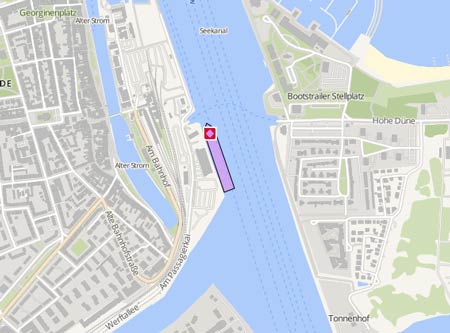
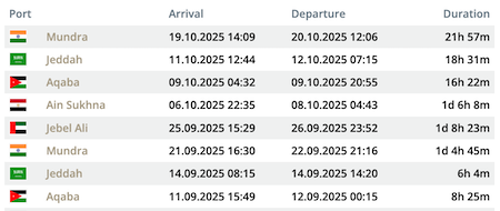
Die letzten Häfen
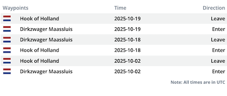
Die letzten Wegpunkte
Die neuesten Nachrichten
Broken down ship towed to Ambarlı
Early on Aug 27, 2024, the 'İstanbul N' broke down and went adrift in the Marmara Sea in the Bandırma district of Balıkesir. The ship which departed from the Bandırma Çelebi Port with 68 vehicles and 68 passengers on board, en route to the İstanbul Ambarlı Port at 01:00 a.m., suffered an engine failure due to a fault in its electrical system at around 02:30 a.m. after the ship passed the Kapıdağ Peninsula. During repair attempts of the crew, the cause of the fault could be determined, but a solution was not found. The ship was finally taken in tow by the Coastal Safety tug 'Kurtarma 2', escorteed by the lifeboat 'Kıyı Emniyeti 4', and pulled to Ambarlı, where it was safely berthed on Aug 28 at 5.30 a.m. UTC. Reports with photos: https://www.patronlardunyasi.com/arizalanan-ro-ro-gemisi-istanbul-n-marmarada-surukleniyor https://x.com/kiyiemniyet/status/1828669754107641997 https://turkdeniz.com/istanbul-n-isimli-feribot-marmara-adasi-aciklarinda-makine-arizasi-yasadi
News schreiben