

JIA HAI KE 7


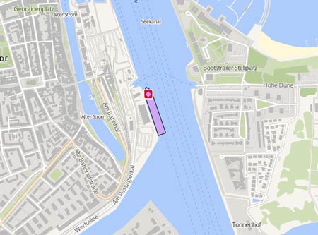
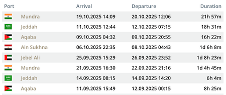
Die letzten Häfen
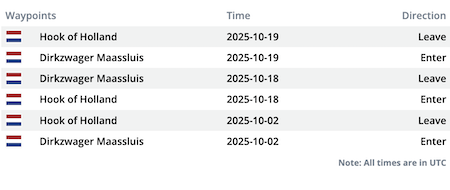
Die letzten Wegpunkte
Die neuesten Nachrichten
Chinesese research vessel accused of spoofing off Batanes Islands during unauthorised marine scientific research activities
The Philippine Coast Guard (PCG) has accused the 'Jia Hai Ke 7' of spoofing its location on Sep 27, 2026, while operating in the waters of the Batanes Islands near Taiwan, stating that its maneuvers coincided with unauthorised marine scientific research activities. The survey vessel was concealing its location while maintaining its position in waters between the Philippines and Taiwan, raising serious concerns about the security of the country's underwater communications infrastructure and the potential military use of the data collected, because the waters around Batanes and the Luzon Strait are home to key submarine cable corridors connecting the Philippines to Northeast Asia and the Indo-Pacific region. The PCG detected the research vessel approximately 38 nautical miles northwest of Itbayat, in the Batanes Islands, a strategic location just 160 kilometers from Taiwan. The vessel ignored repeated radio calls to identify itself and cease any unauthorised activity. Instead of maintaining a steady course that would justify an innocent passage, the vessel remained maneuvering and holding its position for an extended period, a characteristic behaviour of marine scientific research. During the operation, Philippine authorities identified that the vessel was transmitting false positions via AIS. Tracking platforms showed impossible readings on the same day, placing the vessel first off the coast of Xiamen and almost simultaneously in Papua New Guinea, before it reappeared near Itbayat. The Philippine Coast Guard has deployed the BRP 'Teresa Magbanua' and a patrol aircraft to challenge and drive away the ship, as it was conducting unauthorised activity within the Philippine EEZ off Batanes, while a China Coast Guard vessel moved in to shield it. Reports with photos: https://portalportuario.cl/filipinas-acusa-a-buque-de-investigacion-chino-de-falsificar-su-ubicacion-en-la-zona-de-batanes/ https://www.philstar.com/headlines/2026/09/29/2559694/pcg-challenges-china-ships-mindoro-batanes
News schreiben