

KM.TATAMAILAU


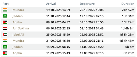
Die letzten Häfen
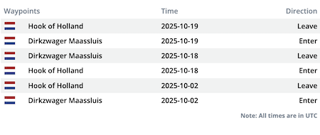
Die letzten Wegpunkte
Die neuesten Nachrichten
Ferry grounded on Iwania River
The "KM Tatamailau" with around 300 passengers on board ran aground on the river Iwania near Port Poumako, Papua, on Feb 2, 2015, at 07.50 a.m. LT. The ferry was enroute from Agats in Asmat to he Port Poumako in the Mimika regency. All attempts to refloat vessel failed so far, all passengers remained on board. The relevant authorities asked them to be patient and do not attempt to leave the vessel as some of them thought about getting to shore on a fisher boat. The grounding was caused by a low water level with only four meters water depth. The tug "Tunda" was called from Poumako but failed to pull the vessel off. Indonesian report with photo: http://news.detik.com/read/2015/02/02/221440/2821525/10/kapal-pelni-tatamailau-kandas-ratusan-penumpang-terlantar-di-timika-papua
News schreiben