

Z.85 ALEXIS II


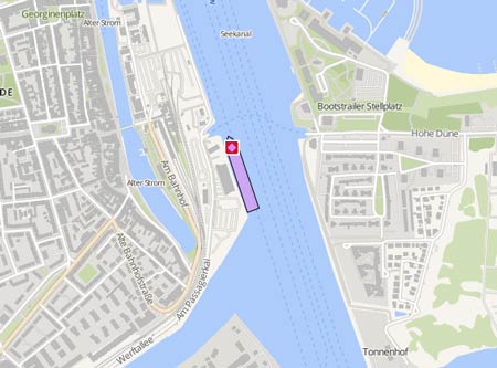
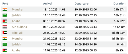
Die letzten Häfen
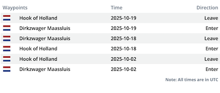
Die letzten Wegpunkte
Die neuesten Nachrichten
Collision on the North Sea
On March 31, 2021, at 3.30 a.m. the Gibraltar flagged tank m/v 'LS Jamie', (IMO: 9418937), while enroute from Le Havre Anchorage to Salt End, was involved in collision with the 'Alexis II-Z.85' West of the Borssele wind farm. Both the vessels suffered minor damage to the starboard side above the waterline. No assistance was required. The trawler returned to Dunkirk, the tanker moored on Immingham Anchorage in pos. 53° 34.94' N 000° 25.14 E on April 1.
Trawler sunk by bad weather
The sinking of the "Morgenster" in January was not the result of a collision, but of the heavy weather conditions, reported the Secretary for the Northsea, Bart Tommelein, on Sep 17. Two months after the sinking an anonymous mail had emerged and claimed the Trawler was run over by the "Marselisborg" which was then investigated three days at an English shipyard. The investigation has definitively ruled out a collision as a cause of the sinking. The prosecutor closed the case.
Radar images do not show other ships in vicinity of trawler before sinking
The "Morgenster" has likely not been hit when it sank on Jan 28. The parquet of West Flanders, Bruges section, confirmed the information based on radar Images on May 22. The Prosecutor's office was still awaiting the report of an expert. A storm was apparently the cause of the sinking. In March, an anonymous email indicated that the Trawler was struck by the "Marselisborg". Radar images showed, however, that there was no other ship in the vicinity of the trawler at the time of the sinking.
News schreiben