

ATLANTIC GUARDIAN


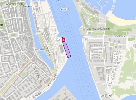
Course/Position
2 min ago
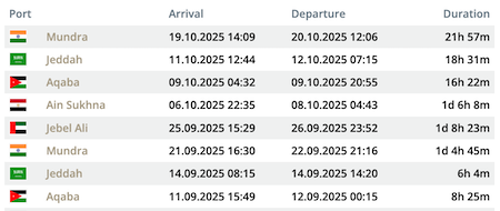
Latest ports
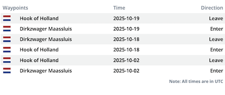
Latest Waypoints
Latest news
Electromagnetic Geoservices extends vessel charter at lower rate
Norwegian geophysical services company Electromagnetic Geoservices (EMGS) has extended the charter agreement for seismic vessel Atlantic Guardian with North Sea Commander Shipping. EMGS says under the new contract, stretching for five years commencing October 1, it has been given improved commercial terms with the owners agreeing to reduce the charter rate by around 27%. http://splash247.com/electromagnetic-geoservices-extends-vessel-charter-lower-rate/
Rope fouled propulsion
On Sep 26, 2015, the azimuth propulsion of the "Atlantic Guardian" got fouled by a rope in Haugesund during cably laying operations. The lifeboat "Bergen Kreds" was called to assist, and a diver was sent down to remove the obstruction in Kopervik. Photo: https://pbs.twimg.com/media/CP0IDF-UEAAfFrq.jpg
Upload News