

HARRIER EXPLORERscrapped


Course/Position
2110 days ago
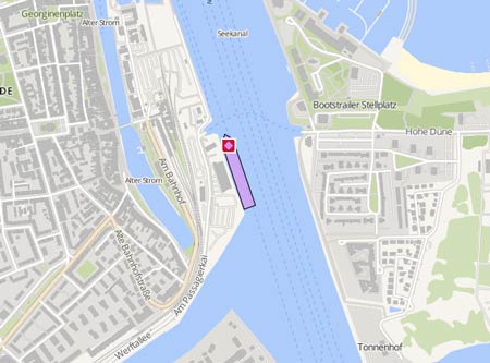
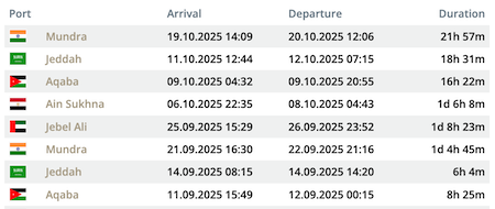
Latest ports
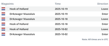
Latest Waypoints
Latest news
arrived Ghent Scrapyard
Arrived Ghent Scrapyard 13.12.20 http://www.shipspotting.com/gallery/photo.php?lid=3240576
Seismic Research off the Coast of Suriname
The Maritime Authority of Suriname has issued the following Notice to Mariners: "From June 7th till August 12th, 2019, the survey vessel HARRIER EXPLORER will conduct a seismic survey at one hundred and fifty nautical miles (150 NM) off the coast of Suriname. The survey vessel will be towing a seismic cable with a length of twelve 1/2 kilometer (12.1 km) will be towed. Vessels must maintain a safe distance of at least eight nautical miles (8 NM) of the HARRIER EXPLORER. During the operation HARRIER EXPLORER will be restricted in maneuverability and will display the relevant characters. The vessel SHANNON will serve as a support vessel during the operations. Ship communication is through the VHF channels 16 and 68. All ships are requested to take notice of the above mentioned."
Norway cleared for eastern Barents survey
Seismic acquisition can go ahead in the eastern part of the Barents Sea from July 7, according to the Norwegian Petroleum Directorate (NPD), Offshore magazine reports. NPD will be responsible for seismic acquisition on behalf of the Norwegian authorities, with PGS’ Harrier Explorer performing the work. The vessel is currently sailing to the Jan Mayen region, where it should start seismic acquisition on June 10, with the program set to last between three and four weeks. More at http://www.offshore-mag.com/index/article-display/6392060614/articles/offshore/geology-geophysics/north-sea-northwest-europe/2011/june/norway-cleared_for.html
Upload News